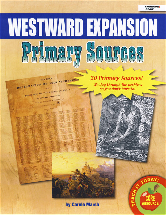
Westward Expansion Primary Sources Pack
Westward Expansion Primary Sources Pack

Westward Expansion Primary Source Documents
Description
Description
Wagon trails, land maps, and photographs of the frontier: westward expansion through the eyes of those who lived it, and those who lost their land to it.
Put Westward Expansion sources in students' hands.
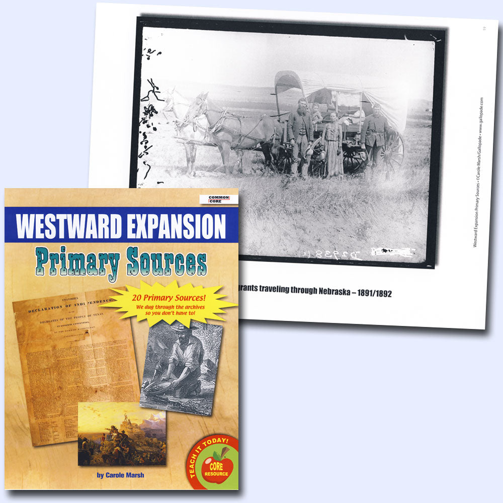
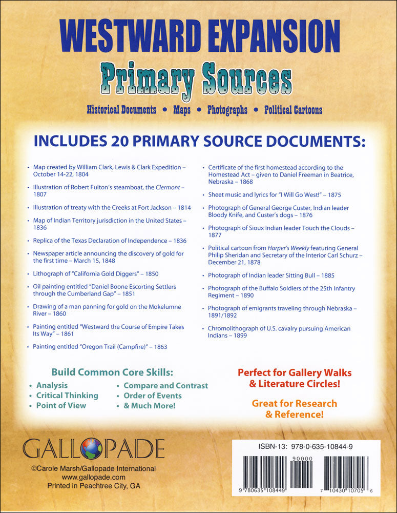
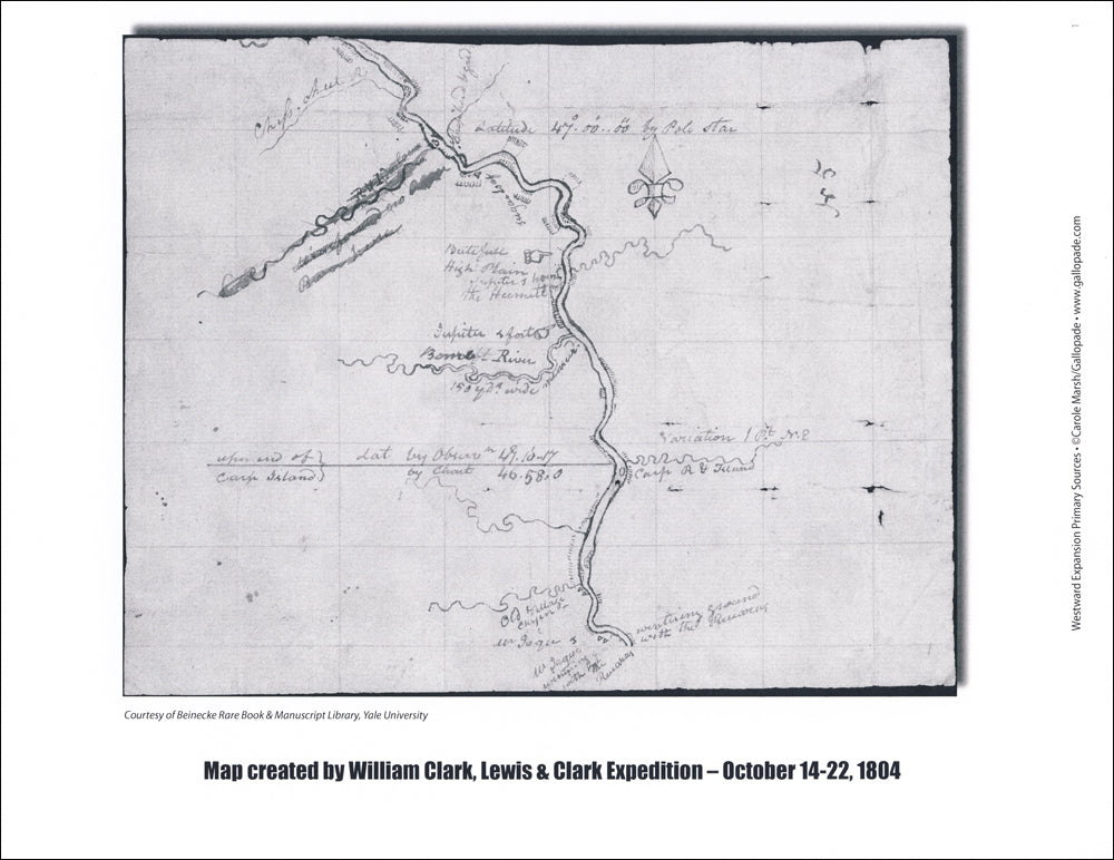
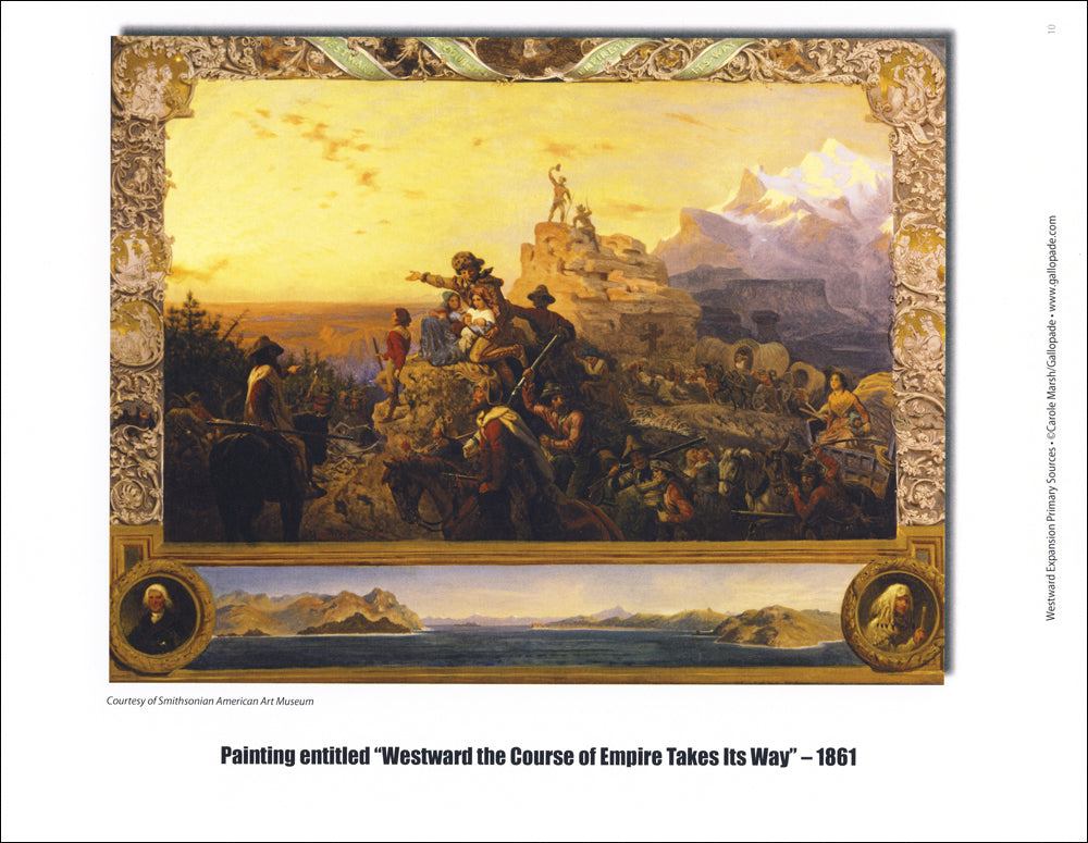
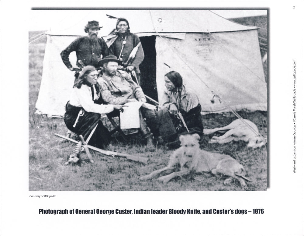
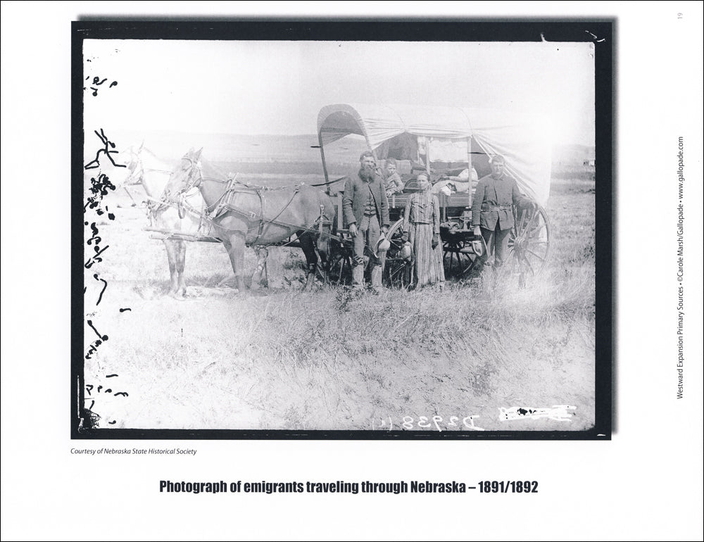
This pack of 20 primary source image cards lets students examine the history of westward expansion up close. It includes historical documents, maps, photographs, political cartoons, lithographs, diagrams, and letters in a mix of color, black-and-white, and sepia finishes.
Perfect for gallery walks. Post the cards around the room and let students investigate.
Head west, with evidence.
3S2763: 20 cards, 8 x 11 inches each, cardstock. All levels.
Reviews (0)
Reviews (0)
Payment & Security
Payment methods
Your payment information is processed securely. We do not store credit card details nor have access to your credit card information.