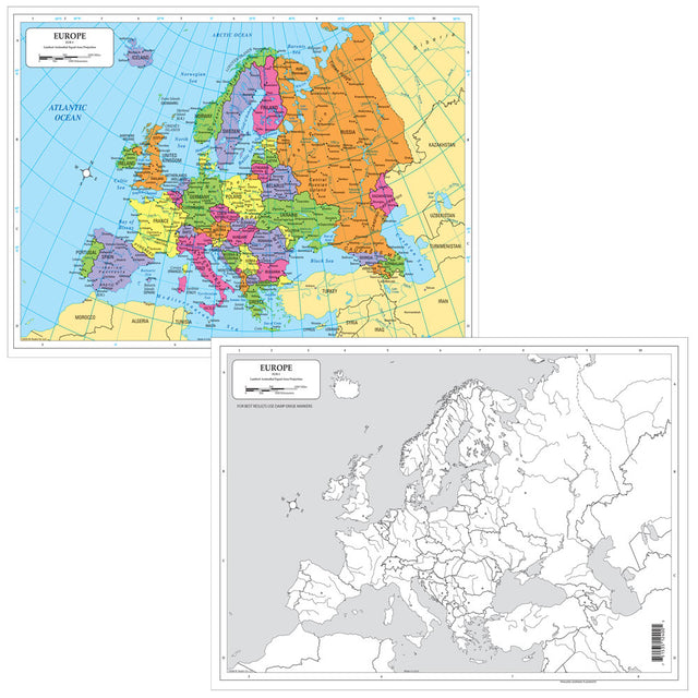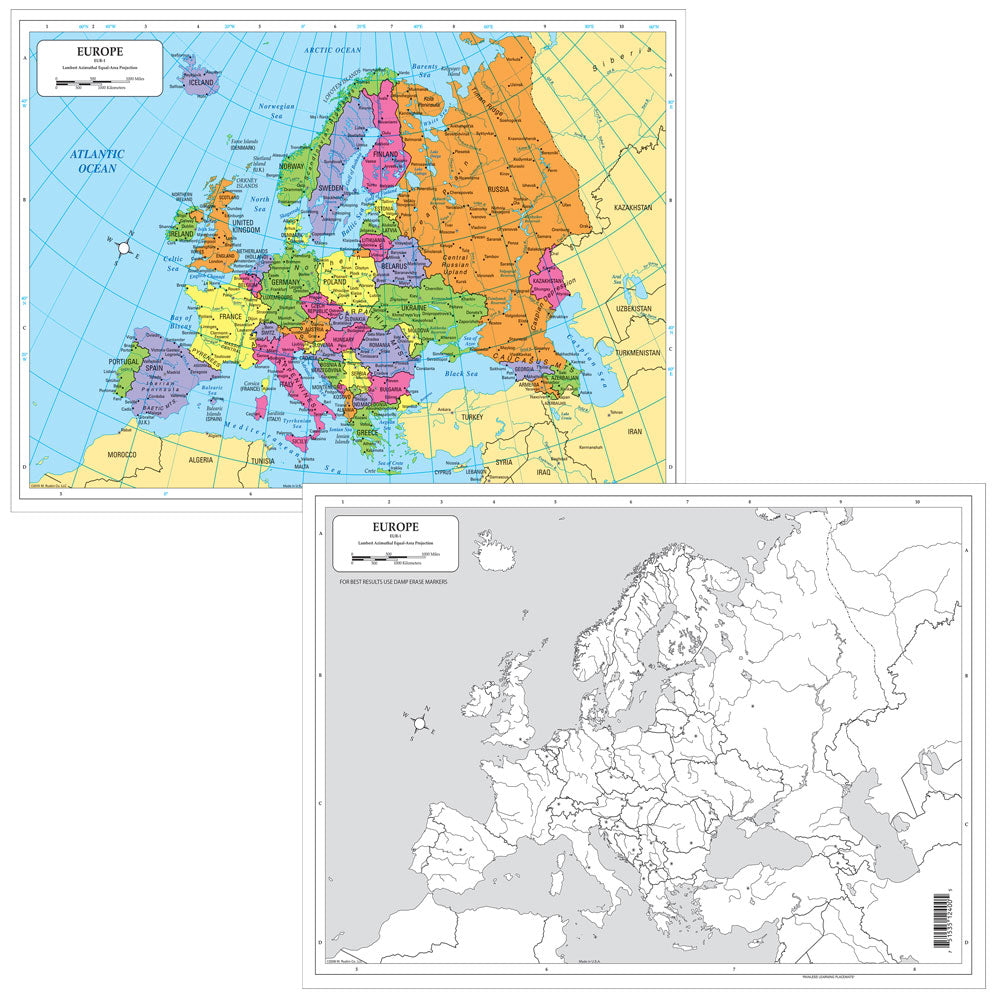
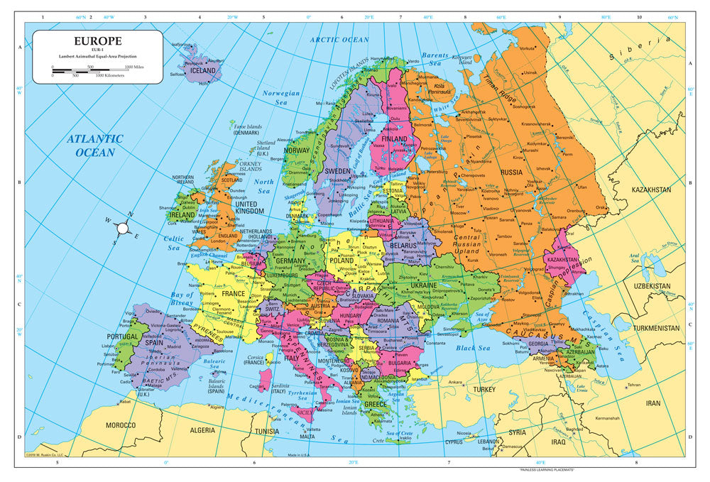
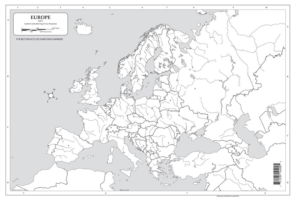

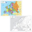
Color in red the countries that identified with the Axis Powers in WWII. Color in blue the countries that identified with the Allied Powers. Instruct students to identify and label locations on a map, then erase and repeat! Dry-erase desk maps make any mapping activity easy and efficient with a double-sided political map and a blank outline map.
©2008. All levels. 17 x 12 inches. Laminated.
Dry-Erase Europe Desk Map
Couldn't load pickup availability
Dry-Erase Europe Desk Map
Mapping Europe—from Their Seats!
Description
Description
Color in red the countries that identified with the Axis Powers in WWII. Color in blue the countries that identified with the Allied Powers. Instruct students to identify and label locations on a map, then erase and repeat! Dry-erase desk maps make any mapping activity easy and efficient with a double-sided political map and a blank outline map.
©2008. All levels. 17 x 12 inches. Laminated.
Reviews (1)
Reviews (1)
Payment & Security
Payment methods
Your payment information is processed securely. We do not store credit card details nor have access to your credit card information.